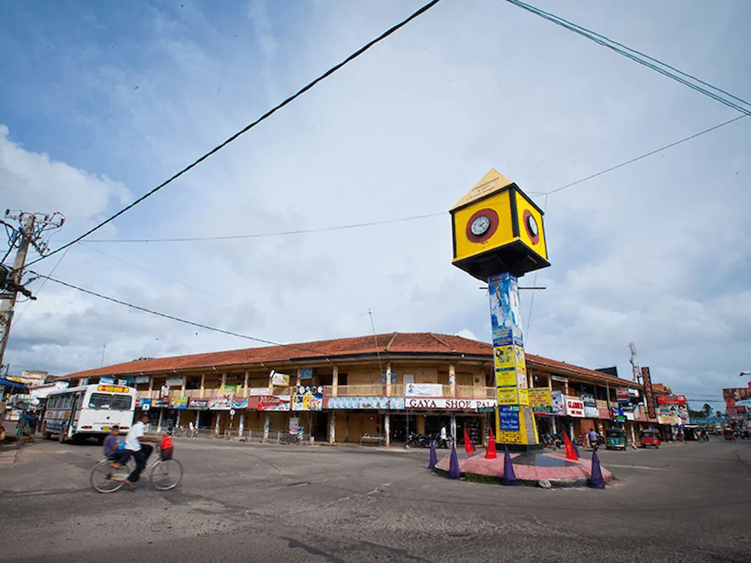
Negombo is not just another coastal town in Sri Lanka; it has a story that spans centuries and is packed with history, intrigue, and influence from various colonial powers. The journey of how Negombo evolved from a humble fishing village to becoming one of the five major cities in Sri Lanka is a testament to the shifting tides of history. From the Portuguese to the Dutch, and eventually the British, each colonial force left its mark, shaping the city’s landscape, culture, and architecture in unique ways.
The Portuguese Arrival and the Decline of Arab Influence
When the Portuguese first arrived in Negombo, they found a thriving Arab trading community. Arab traders had long dominated the local economy, trading goods like cumin, betel nut, pepper, and dried fruit. But everything changed with the arrival of the Portuguese. They were not interested in coexisting with the Arab traders—they wanted control. And to achieve that, they built a fort and forced the Arabs out. With this act, the Portuguese effectively put an end to the Arab trade in Negombo.
One of the key locations impacted by this change was the port of Kammalthura. This was where Arab merchants brought their goods for trade, but once the Portuguese took over, the port was abandoned. The Portuguese didn’t stop at taking over Kammalthura; they built a new port and fort right where the present-day Negombo Fort stands. According to Cosme Jose Costa’s work St. Joseph Vase (1990), this marked a significant turning point—the end of Arab dominance in the region.
The Establishment of Portuguese Control
The Portuguese didn’t just want to control trade—they wanted to control the land and its people. To solidify their dominance, they built the Negombo Fort in a strategic location where they could easily monitor both the Negombo lagoon and the sea. This was no random choice. The Portuguese knew that, if things ever went south, they had a quick escape route via the lagoon. But while they had control, they also made enemies, as seen in the writings of Dr. Susantha Gunathilake. His book, A 16th Century Clash of Civilizations: The Portuguese in Sri Lanka (2010), highlights how the Portuguese referred to Kammalthure (modern-day Poruthota or Old Paruthota) as a Dravidian “wooden bridge.” This reflected how different cultures clashed, both in language and action.
The Portuguese used brute force to take what they wanted. They looted buildings in Palangathure before fleeing to Goa with stolen goods and grains. This wasn’t just an economic takeover—it was a cultural and societal one, too.
The Dutch Takeover and Urban Planning
The Capture of Negombo Fort by the Dutch
Negombo’s story took another turn in 1640 when the Dutch decided it was time to take over. Dutch Commodore Philip Lucasz led an attack on the Negombo Fort in February of that year. The Dutch had a clever plan—they retreated into the Negombo Lagoon during Portuguese counterattacks, using the lagoon’s natural protection. But they didn’t stop there. Lucasz cut a canal from a narrow section of the lagoon and returned by the sea, catching the Portuguese off guard. It was a bold move, and it worked. They captured the fort, and in doing so, massacred the Portuguese soldiers stationed there. Only a few, including Sebastian Castelli Lanza, managed to escape (Christians and Spices, Charles Ralph Boxer, 1958).
What’s interesting is that the canal Lucasz cut still exists today. The area is now known as Kapungoda, a quiet village near Negombo. Even though this battle happened centuries ago, the physical landscape still bears traces of that fateful day.
Dutch Urban Planning and Expansion of Negombo
Once the Dutch took control, they weren’t just interested in military strongholds. They wanted to build something lasting, and they did exactly that under the leadership of Francois Caron. In January 1644, the Dutch set about developing Negombo into an urban center. They fortified the Negombo Fort, built a moat around it, and constructed embankments along the lagoon.
But perhaps the most lasting legacy of the Dutch is their urban planning. They laid out a series of roads connecting the fort to the growing city. These weren’t just any roads—they were well-planned, with both horizontal and vertical streets. The vertical streets were named Sea Street, Main Street, and Mudaliyer Road, while the horizontal streets were called First, Second, and Third Cross Streets. These names might not sound all that fancy, but they’ve stood the test of time. If you walk around Negombo today, you’ll still see these roads, laid out as they were back in the 1600s. This is confirmed by a drawing by Johann Wolfgang Heydt (1744) and Ron Van Oers’ research (Dutch Town Planning Overseas During VOC and WIC Rule, 1600-1800).
Negombo Under British Rule and Its Lasting Legacy
The British Takeover in 1796
Negombo’s story didn’t end with the Dutch, though. In February 1796, the British took over Negombo. It wasn’t as dramatic as the battles with the Portuguese, but it marked the beginning of a new era. The British, being practical as always, decided to keep some of the Dutch infrastructure intact. They demolished most of Negombo Fort but left the southern and eastern parts standing. These remnants were turned into a prison, and that’s pretty much how things stayed for a while.
Preservation of Dutch City Plans
Despite the British takeover, the Dutch city plan remained largely unchanged. In fact, the British even added to it. They built two more vertical roads—Customs House Road and King George Drive. Customs House Road led to the customs and warehouses near the old port, while King George Drive ran along the shore. These additions blended seamlessly with the existing Dutch roads, creating a network that remains visible today. Take a look at the maps, and you’ll see that the layout established by the Dutch centuries ago is still part of modern Negombo.
Sources:
